Gravel loops that stay off the asphalt.
Tap where you start, pick a distance, and get three loops through forest and heath, each with a short note on why it's good. Download the GPX and ride.
Free. No account. Netherlands and Belgium.
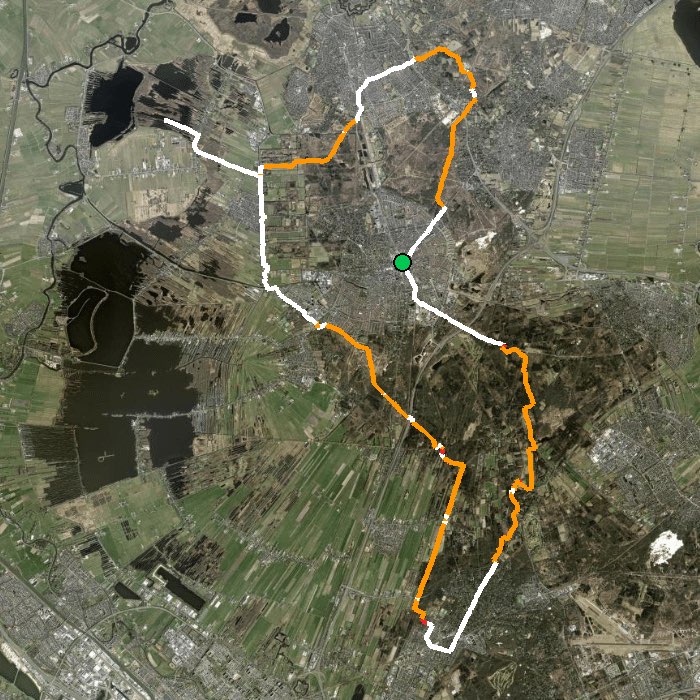
Tap where you start, pick a distance, and get three loops through forest and heath, each with a short note on why it's good. Download the GPX and ride.
Free. No account. Netherlands and Belgium.
No drawing routes by hand and no scrolling through other people's rides that start an hour away.
Your front door, a train station, the café where the group meets. Or use your location.
20 to 120 km. Choose gravel for long unpaved tracks or MTB for signposted singletrack loops.
Pick one of three loops and download the GPX. Open it in Wahoo, Garmin, Hammerhead or Komoot.
The planner generates candidate loops from OpenStreetMap trail data and scores every one of them. AI then picks the best three and explains each pick in one line.
Two modes, because they're different rides.
Links up the best unpaved tracks around your start into one clean loop, using quiet roads only where it has to.
Combines the signposted MTB routes near you into one ride that fits your distance, in the right direction.
The Netherlands and Belgium for now. Starts outside that area are refused instead of giving you a bad route.
No, loops only. You start and finish in the same place.
Anything that opens GPX: Wahoo ELEMNT, Garmin Edge, Hammerhead Karoo, Komoot and Strava routes. On iPhone, tap the download and open it in your device's app.
The planner trusts OpenStreetMap. Surfaces change and sand gets soft, so treat the route as a strong suggestion and use your judgement on the day.
No. There's no account, and it doesn't track you.